In recent years, infectious diseases have emerged or reemerged nearly annually, thanks to increases in populations, human mobility, and environmental changes, with notable examples such as Dengue in France, Ebola in West Africa, and the novel coronavirus (nCov-2019) first reported in Wuhan, China. With this uptick in new or newly rediscovered diseases, countries around the globe need to be prepared to detect, treat, and respond to new and suspect cases. The International Health Regulations (2005) provide a global mandate for 194 countries to prepare for cases of key emerging infectious diseases and other events of public health concern via mandatory reporting. However, despite the IHR (2005), many countries are not adequately prepared to diagnose, treat, and respond to infectious disease threats. One obstacle to preparedness is a lack of local, actionable and relevant information that can be used to prioritize action.
Substantial diagnosis and treatment occurs in health facilities across the globe, and facility-based Infection Prevention and Control (IPC) programs are essential for overall epidemic control. We know that accessibility to health facilities (sometimes measured via the amount of time it takes to travel to a health facility) contributes to health outcomes of individuals, with large travel times contributing to increased cost of care, reduced vaccination, and decreased survival. We also know that accessibility to health facilities is wildly disparate across many sub-Saharan African countries, with one recent study finding that over 75% of persons in some countries lack hospital access within 2 hours of travel.
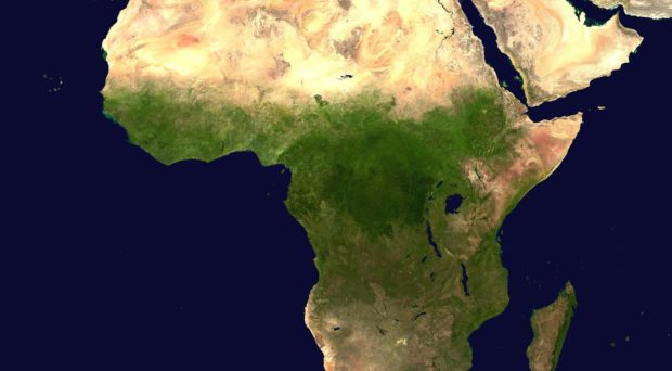
Recent research has demonstrated that for much of sub-Saharan Africa, the environment is suitable for cases of Viral Hemorrhagic Fevers (VHFs) to occur, even in places with no previous history of the disease (like Ebola in West Africa before the 2014 – 2016 outbreak). These VHFs, including Ebola, Marburg virus, Lassa Fever, and Crimean Congo Hemorrhagic Fever (CCHF), have high infectivity and case fatality rates, particularly without proper diagnosis and treatment. Given this ability to spread easily and the poor prognosis following infection, it is essential for countries to prepare preemptively for possible cases, particularly with a focus on health facilities and accessibility to these health facilities.
In order to best prepare for possible VHF cases, countries need to first be able to estimate where cases may occur and the magnitude of the populations-at-risk in these regions. Identifying health facilities where patients with VHFs may present for care is essential so that these facilities can invest in preparedness activities including trainings, personal protective equipment, and IPC programs to have the highest success of diagnosing and treating cases as well as preventing secondary infections. Identifying where potential VHF cases may not have access to a health facility is equally as important so that planners can prioritize improved access and bolster community surveillance and response.
In order to address these demands, we recently analyzed travel times to health care facilities for populations at risk for viral hemorrhagic fevers (VHFs) in 43 sub-Saharan African countries, using publicly available data at a very fine geographic scale. In a study published in BMC Medicine, we provide fine-scale travel time estimates so that country leadership has access to clear and actionable information for developing local preparedness plans. We identify facilities where seeing a VHF case is highly possible given the proximity to areas-at-risk, and where additional emphasis on accessibility should be prioritized. We also estimate travel time to the nearest location-at-risk for VHFs, how far away hospitals are from the nearest area-at-risk for VHFs, and how new resources could impact the travel time landscape.
These tools are not only useful in preemptive planning, but can inform the response during an outbreak. We were able to use recent case data from the ongoing Ebola outbreak in the Democratic Republic of Congo (DRC) to estimate travel time for residents of DRC, Rwanda, Uganda, and South Sudan to the most accessible Ebola case and the hospitals with the shortest travel time to the nearest Ebola case.
The World Health Organization has identified preparing for epidemics as one of 13 urgent health challenges for the next decade. Good data is a first step towards successful preparedness, improved outcomes for patients, and stopping disease outbreaks before they can spread. We provide these preparedness tools for 43 sub-Saharan African countries and select priority diseases, but can provide custom maps for any disease and region where data is available, providing a roadmap for global epidemic preparedness.
Comments